This is one thing that might be somewhat difficult to do if you are in a kayak, and in fact, determining how far you are from something while you are on the water will have to be learned through practice and experience.
This is one reason why you should never kayak alone, especially if you are a beginner. It’s relatively easy to make a mistake and end up misjudging how far you are from your destination.
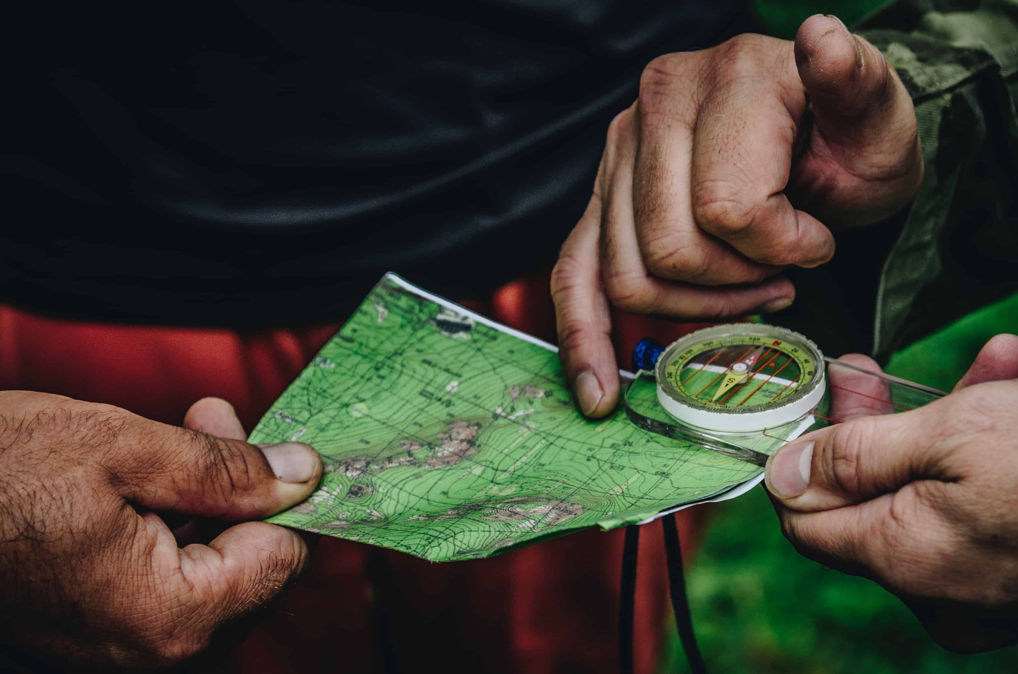
Measuring direction is fairly easy to do, as long as you have a reliable compass. The first thing you should do when you’re trying to figure out where you are is to line up the magnetic north of your compass with the north that is denoted by your map.
You should always be careful to make sure that you correct for the declination when you do this (what angle magnetic north differs from the geographic north that is used on maps and charts.)
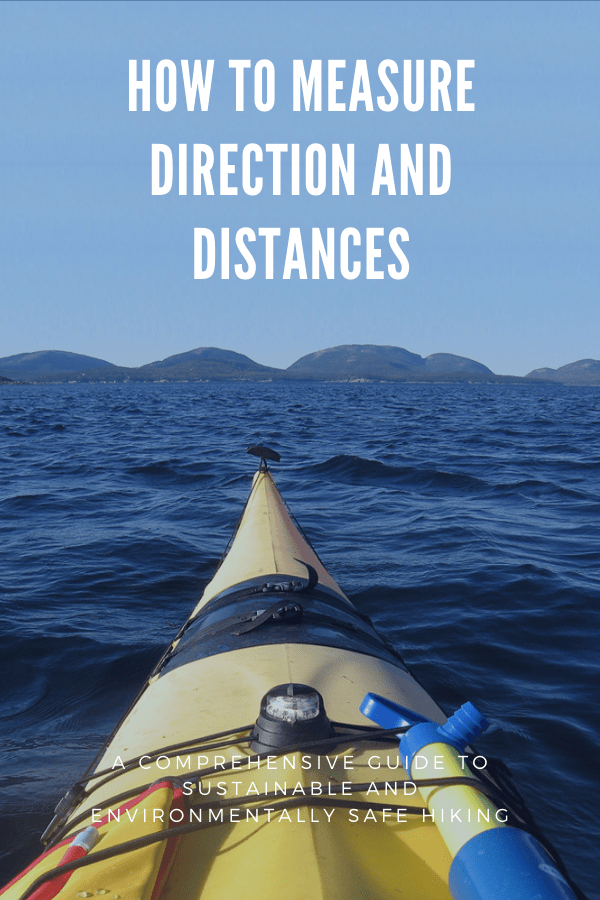
One thing that you should worry about when you’re in your kayak is what types of objects are going to be packed near your compass when it is in use.
For instance, metals such as iron can seriously throw off your compass reading, so before you try to figure out where you are, you should make sure that you are getting a good compass reading.
As far as distances, you can measure how far you need to go on the map by using the scale. All maps and charts should have a scale of some sort that compares the number of nautical miles that the map distance represents to a fixed length. Usually, either inches or centimeters are used on maps.
After you figure out how far you need to travel on your map, you can convert that number to nautical miles and find out how far you will need to paddle.
One thing that you should keep in mind when you’re determining how far you can paddle in one day is that nautical miles are different from regular miles.
In fact, one nautical mile is equal to about 1.15 of the miles that are used on land – since this can add up, make sure that you don’t accidentally plan to go farther than you’re capable.

